
Map Spring Postal ZIP Coverage
Spring has more than one ZIP story. The Texas postal reference associates eleven current ZIPs with Spring, while older USPS material also shows 77393 in an older grouping. Delivery city labels and ZIP routing areas are not municipal boundaries, not CDP boundaries, and not a resident list. The coverage map below is meant for address validation. A precise street address still needs a current USPS result and parcel-county check.
| ZIP | Areas Covered | Post Office | Notes |
|---|---|---|---|
| 77373 | Central and eastern Spring CDP and postal area | Spring 77373 | USPS validation decides the delivery form; boundaries do not follow the county or CDP line. |
| 77379 | Klein and northwest Spring area, including many Spring-labeled subdivisions | Spring 77379 | Near the Klein and Harris edge; state association results include many Spring 77379 entries. |
| 77380 | South and east Spring mailing area toward The Woodlands | Spring 77380 | A popular Spring label can reach Montgomery-side communities. |
| 77381 | The Woodlands-area Spring mailing geography | Older USPS Spring grouping | Current route assignment needs USPS confirmation. |
| 77382 | The Woodlands-area Spring mailing geography | Older USPS Spring grouping | Does not prove Harris County CDP membership. |
| 77383 | Spring and nearby postal route | Spring 77373 grouping in 2025 material | Validate the exact address before using the grouping. |
| 77386 | South and east Spring, Rayford and Grand Parkway area | Spring 77380 grouping in 2025 material | May require Montgomery County appraisal and Clerk records. |
| 77387 | Spring postal area | Spring 77380 grouping in 2025 material | Use USPS for the current delivery city and ZIP+4. |
| 77388 | North and east Harris Spring area | Spring 77373 grouping in 2025 material | The Cypress Hill Tax Office branch is in Spring 77388. |
| 77389 | Klein, Spring, and north Harris area | Spring 77379 grouping in 2025 material | Association, school-boundary, and county edges need parcel confirmation. |
| 77391 | Spring postal route or PO box or special grouping | Spring 77379 grouping in 2025 material | Confirm the precise USPS route because the map boundary is not intuitive. |
| 77393 | Older Spring grouping only | Older USPS Spring grouping | Not in the current TGPC list inspected; check current USPS before treating it as active Spring coverage. |
The USPS lookup entry point is the decisive source for the current delivery city, ZIP, and ZIP+4. The Texas General Land Office reference and older USPS materials help frame the possibilities, but they disagree in places. That disagreement is a reason to validate an address, not a reason to publish a fixed boundary claim.
USPS returns delivery validation. It does not disclose who receives mail at an address. That distinction keeps a ZIP code directory focused on geography and record routing rather than on assumptions about a household.
Sort Spring ZIP Groups by County
On the Harris side, 77373, 77379, and 77388 are useful starting clues, not county proof. The popular Spring region extends toward Montgomery County on the The Woodlands and Rayford side. In particular, a Spring, Texas 77386 address may belong in Montgomery records. A Spring, Texas 77388 address is a Harris-side clue, but the parcel should still be checked before an HCAD account is treated as the right record.
HCAD covers Harris County parcels. It is therefore a hard county limit, not a map of every Spring-labeled address. When the parcel falls elsewhere, route the inquiry to the local appraisal and recording offices for that county. Postal routes are built for delivery, while property records are organized by the government unit that holds the parcel.
Confirm a Spring ZIP With USPS
Enter the complete street address into USPS lookup before filtering another public system. Preserve the original form from the source record, then note the standardized address, delivery city, ZIP, and ZIP+4. A directional prefix, street type, unit, or subdivision-specific numbering can affect a match. This step also protects an older record search when a modern address has replaced a rural route or other older form.
- ZIP
- A postal routing area used to sort mail. It is not a city-limit, county, or resident boundary.
- ZIP+4
- The added four digits that narrow delivery within a ZIP and help standardize a complete address.
- PO box ZIP
- A ZIP tied to post-office box delivery or a special grouping, which may not describe surrounding street geography.
- Carrier route
- A mail-delivery grouping within a postal system. It is not a list of people at the addresses it serves.
Keep a postal answer separate from the address on a deed, appraisal account, or voter record. A normalized delivery line can improve a search, but the original record form may still matter when locating a historic legal description or older directory entry.
Filter Spring Parcels by ZIP
HCAD advanced property search accepts a five-digit ZIP as one optional field. It returns parcels and tax accounts, not a roster of residents. Combine the ZIP with a property street name, beginning and ending number, legal description, or owner name when the result set is too broad. The street-specific walkthrough is available in the Spring Street Directory once a ZIP has narrowed the area to a particular address.
| HCAD search field | Type or format | ZIP research use |
|---|---|---|
| ZIP | Optional five-digit field | Limits a result to parcel and tax accounts with that ZIP. |
| Property Street Name | Optional text; Similar Street Name control | Pairs a ZIP with a road name and spelling variants. |
| Beginning and Ending Street Number | Optional number fields | Limits a result to a small address range. |
| Owner Name | Optional text, last name then first initial or name | Checks a known appraisal account. |
| Legal Description | Optional text | Connects a ZIP-filtered parcel to a deed or plat. |
| Tax Year and School District | Dropdown fields | Adds a year or district filter. |
| Key Map, Map Facet, Neighborhood Number | Optional coded fields | Refines a geographic parcel group. |
| Total Value and Square Footage | Optional numbers and range control | Further narrows a large parcel result. |
HCAD permits partial prefixes and case-insensitive text, and its advanced results can reach 3,001 rows when a query is unconstrained. The result detail can show the account number, owner name, property or situs address, owner and mailing address, legal description, neighborhood, values, exemptions, improvement and land data, sketch, and ownership-history links. HCAD says it is not a title opinion, and its map is approximate.
Read Spring ZIP Results Carefully
Harris Tax property search accepts account, name, or address routes rather than a guaranteed ZIP-wide export. It can provide statement, receipt, and tax-account clues, but it is not a deed or a complete ownership history. HCAD is available online, by telephone, and in person. A particular parcel's legal description can then be used in the Harris County Clerk real-property index, which has a free index and paid image or copy routes.
Harris voter lookup searches by name or address, not as a ZIP-wide household export. It offers current and pending registration choices, and an address entry should omit a period in a directional term such as S Sam Houston. A result is subject to suppression and status limits. The SOS master-file route reduces by county, precinct, date, or status rather than ZIP, so any ZIP association must be derived only from returned public address data where lawful.
Separate Spring ZIP From the CDP
Spring is an unincorporated Harris County Census-designated place. A city field in an online form may instead mean a USPS preferred city, an incorporated jurisdiction, or a mailing label. The Census CDP, ZIP areas, school districts, MUDs, ESDs, constable precincts, and municipal limits all draw different lines. A ZIP code directory cannot substitute one map for another.
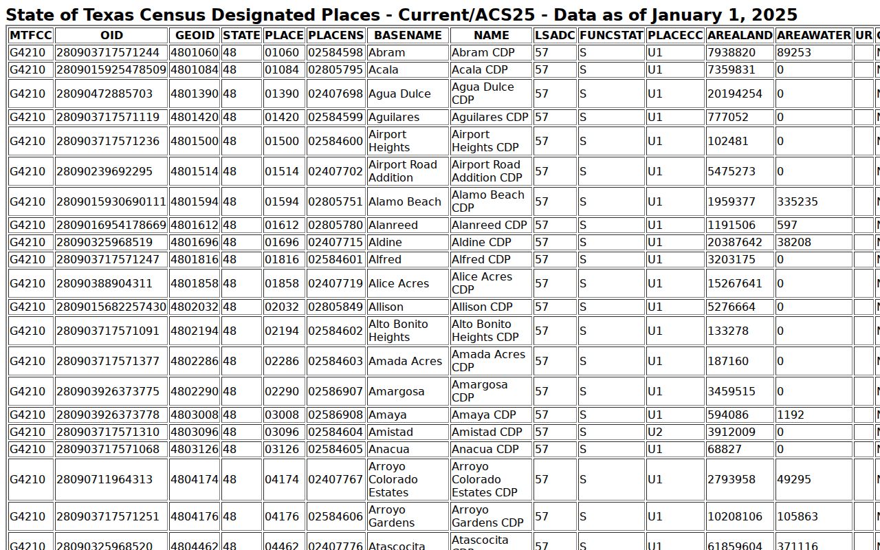
The Census TIGERweb Spring CDP geography helps show the geographic distinction. The 2020 CDP land area was approximately 58,249,359 square meters, with 883,677 square meters of water. Those geography figures describe a Census area, not postal delivery or the population of a ZIP.
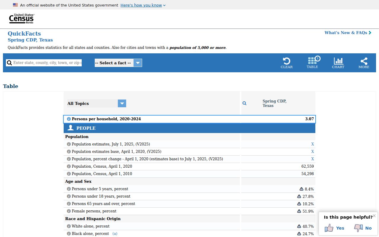
The Census QuickFacts profile for Spring CDP gives area-level context. The 2020 Census count was 62,559. That figure does not identify current residents and should not be read as a count for any one postal ZIP.
Postal and Census sources work well together when each keeps its own role: USPS standardizes a delivery address, while TIGERweb and QuickFacts describe a Census geography. Neither produces a current person-by-ZIP list.
Check Spring Associations by ZIP
Subdivision names can help with a legal-description search after a parcel is confirmed. Official and state association material identifies names such as Spring Creek Oaks, Shannon Forest, Wimbledon Estates, Terra Nova, Olde Cypress Mill, Champion Springs, Arbors of Gleannloch, Estates at Windrush, and Champion Forest. These are useful strings for HCAD legal descriptions or Clerk plat and deed searches. They are not a comprehensive neighborhood list.
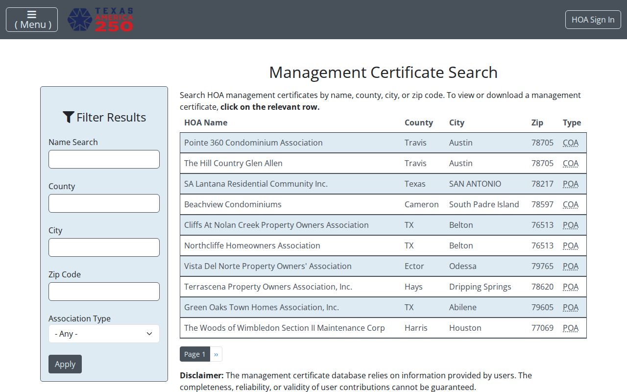
The Texas management-certificate search can filter association records by county, city, or ZIP. Its certificate data is self-reported for completeness, and many private associations keep their own member material. A ZIP match therefore identifies an association or governing-document contact, not a directory of people within that area.
School attendance zones, utility districts, and association service areas may cross postal lines. Confirm the parcel and the relevant agency's own boundary before relying on a ZIP as a service-area label.
Verify a Spring ZIP Address
Use one address at a time when a Spring result sits near an edge. The process keeps a postal clue, a parcel record, and a jurisdiction decision separate. It also limits broad searches that can return unrelated accounts or registrations.
- Run the full address through USPS and save the standardized delivery line with ZIP+4.
- Confirm the parcel county before choosing HCAD, a Montgomery County system, or another custodian.
- For a Harris parcel, search HCAD with the ZIP, street name, and a narrow number range. Capture the account and legal description.
- Use the account and legal description to compare the tax account, GIS parcel, and Clerk index. The deed path identifies recorded parties, not every occupant.
- Use voter, association, directory, or historic records only for their stated role and subject to their access limits.
This sequence is especially important for 77380, 77386, 77387, 77381, and 77382, where Spring mailing geography can overlap a different county or The Woodlands area. A ZIP clue becomes useful only after the address and parcel agree.
Keep Spring ZIP Searches in Bounds
A ZIP code filter is a way to organize parcel, delivery, or association research. It is not evidence that every address shares a city government, school zone, utility district, or county custodian. Public voter results can show a registration match but may be suppressed or reflect a mailing address. USPS validates delivery, not residency. HCAD identifies a Harris appraisal account, not every person tied to a location.
When a boundary remains unclear, ask the custodian for an existing parcel, plat, account, or index record rather than requesting a new analysis. A narrow Texas Public Information Act request can seek inspection or copies from the correct county office. The office may provide an itemized estimate above $40, and it need not create a new record or answer an open-ended question.